Nearby Park and Greenspaces
University of Wisconsin Arboretum
The University of Wisconsin Arboretum, located at 1207 Seminole Highway, is a 1280 acre ecological laboratory set aside for research and study of major plant communities indigenous to the Midwest.
Originally, the site of the Arboretum was set aside to remain an open space by realtors and others interested in enhancing property values in a rapidly developing area. However, with the failure of the Lake Forest Building Project in the 1920s (now known as the "Lost City") and the onset of the Depression, the area remained undeveloped. Efforts to acquire land for an arboretum were primarily due to UW Regent, Michael S. Olbrich, who unfortunately died before his dream was realized in 1935.
With the formation of the University of Wisconsin Arboretum, there was a break with the traditional concept of arboreta as collections of plants in garden-like formal settings. The new Arboretum was to be, in the words of the famous early environmentalist Aldo Leopold, "A sample of what Dane county looked like when our ancestors arrived here." It was to preserve or, in some cases, recreate pre-settlement ecological communities native to Wisconsin such as the prairie, wetlands and oak and conifer forests. Today, 1,100 of the 1,280 acres is reserved for the horticultural collection.
Forest Hill Cemetery
http://www.cityofmadison.com/parks/parks/cemetery
1 Speedway Rd. 266-4720
Forest Hill Cemetery, located at the edge of the Dudgeon-Monroe neighborhood at 1 Speedway Road, is a very special place. The cemetery, originally laid out in 1858, is an example of the mid-19th century phenomenon known as Rural Cemeteries. Our cemetery displays many characteristics of its more grand counterparts in the East. Forest Hill was originally set in the country with rolling hills that had picturesque vistas. Its layout is less formal and concern for nature is seen in the serpentine carriageways that followed the topography of the land. Many prominent early city and state figures are buried in Forest Hill Cemetery, some of whose graves are marked with obelisks, sphinxes, vases or columns. A Victorian High Gothic chapel was built in 1878.
These Rural or "Romantic" Cemeteries across the nation became popular tourist attractions in the previous century for strollers and picnickers who took advantage of the settings for relaxation, contemplation and inspiration. In many areas, by showing the city dweller's need for recreational space, these Rural Cemeteries paved the way for the development of city parks.
Forest Hill Cemetery is now a city landmark and though not specifically a park, it is a wonderful place for peaceful walking and viewing the interesting architectural elements, Indian mounds, and historic markers. See the city website for the cemetery, as well as William Cronan's website dedicated to the cemetery for more information.
Dogs allowed on leash, with license and permit.
Glenwood Children’s Park
602 Glenway Street (woods), 3502 Gregory Street (playground), 598 Glenway Street (by Glen Drive)
Glenwood Children's Park is a former sandstone quarry that was used in the early years of Madison's history. It is said that North and South Halls on the UW campus were built from stone from this quarry. By the 1920s the quarry was merely an abandoned but picturesque glen. Members of the Madison Parks and Pleasure Drive Association identified it as a pleasant spot for a park in the 1920s, but it wasn't until 1943 that the Louis Gardner family purchased the site for public enjoyment. At the same time noted landscape architect Jens Jensen, known as the dean of the naturalistic style of landscaping, visited the dell and became interested in its development as a park for children. In 1949 Jensen returned to the park and supervised its renovation, with removal of alien species and the addition of flowering shrubs and trees and "council rings" for children's play.
Today, Glenwood Children’s Park is used by many children (and adults) as a small and interesting park to explore. A annual Winter Solstice Bonfire is held in the council ring as a neighborhood social event.
Hillington Green
435 Hillington Way
A small neighborhood park nestled on a triangular shaped island between streets. Neighbors maintain an ice skating rink in the winter.
Attractions
Play Equipment
Ball Field for young Children
Ice skating
Regulations
Dogs allowed on leash, with license and permit.
Hoyt Park
3902 Regent Street
Hoyt Park is located northwest of the Dudgeon-Monroe Neighborhood at 3902 Regent Street. Frank Hoyt was a founder of the Madison Park and Pleasure Drive Association in 1894. The Hoyt Park site was originally an expansion in the late 1890s of Owen Parkway (now Owen Drive), the first of the pleasure drives developed by the Association. In 1924 and 1941 Frank Hoyt and his wife donated more land to expand the park.
Nakoma Park
3801 Cherokee Drive
A small neighborhood park near Thoreau School in a pretty wooded setting.
Attractions
Play Area
Tennis Court
Picnic Area
Half Basketball Court
Ice skating
Regulations
Dogs allowed on leash, with license and permit.
Olive Jones Park (Randall School)
1810 Regent St.
Small neighborhood park located near Randall School.
Attractions
Play Equipment
Half Basketball Court
Regulations
No Dogs.
Spring Trail Pond (aka Gorham Spring and The Duck Pond)
Nakoma Road just west of Odana Road (Part of UW Arboretum)
The site of one of the remaining fresh water springs around Lake Wingra. Ducks are attracted to Spring Trail Pond because its natural springs are open year round. In past decades (1970s and 1980s), Madison residents would feed bread to the ducks which resulted in many more inhabitants making their home there. This unhelpful practice ended, resulting in a more natural level of fowl in the pond. In addition to the wildlife, Spring Trail Pond has a rich history. These same springs once quenched the thirst of dusty travelers who stopped along the old stagecoach trail and were the water source for the early Spring Grove Tavern. During the Depression years, the area was added to the Arboretum and the actual pond was created. As part of the same project, an entrance and wall designed by Frank Lloyd Wright were constructed.
Attractions
Ducks
Spring
Entrance and wall designed by Frank Lloyd Wright
Regulations
No Dogs.
Vilas Park
1602 Vilas Park Drive
Vilas Park, located at 1602 Vilas Park Drive, is the largest of the area parks and also one of the oldest parks in Madison, given to the Madison Park and Pleasure Drive Association in 1904 by William F. Vilas and his wife Anna. It is named in memory or their young son, Henry Vilas. Originally the park had 60 acres: 25 dry acres and 35 acres of bog located on the north shore of Lake Wingra. The bog was subsequently dredged and landscaped into a series of lagoons by the landscape architect O.C. Simonds. The zoo was started in 1911 with the donation of five deer. Numerous contributions since then have led to the zoo's expansion.
Henry Vilas Zoo
702 S Randall Avenue
Lake Wingra
There are tales from early Madison settlers of abundant stands of wild rice, muskrat, turtles, water fowl and game fish on Lake Wingra. No wonder Wingra, meaning "Duck," was a major hunting and fishing ground of the Winnebago Indians. Legend says that when the last Indian leaves Lake Wingra's shores, the lake will disappear. Most of the Indian population left the lake after the Black Hawk War of 1832, but their teepees could be seen popping up every spring as late as the 1920s.
The original Ho Chunk name of Lake Wingra was Ki-chunk-och-he-er-rah, meaning the "place where the turtle comes up." Turtles do emerge from their muddy winter homes each spring, and the lake is home to many large Snapping turtles that are legend among children attending camp at Wingra Boats each summer. Early white settlers called the lake "Dead Lake" as they did not think the lake had an outlet (they were wrong; Wingra Creek is its outlet, but it was not as clearly defined then as it is today, so this was not obvious to them).
The great news is that Lake Wingra has not disappeared -- yet. However, the Indian legend does have some basis in scientific fact. Wingra, a shallow (15 feet deep) glacial lake had been slowly filling in from the inflow of silt from the woodland and prairie, and from the decay of the luxuriant growth of water plants. Left alone, this process, known as eutrophication, would have taken millenia. However, the eutrophication process was accelerated by humans. Early farms in the Wingra watershed caused nutrient rich run-off from the corn fields and dairy yards to fertilize the lake, allowing for more plant growth. The most drastic change to the lakes came in the form of dredging and filling. Between 1836 and 1920, 3,797 acres of marshland had been drained and filled around the three city lakes, thus shrinking them by almost half.
Filling came from the tops of hills, destroying many Indian sites, by wagon loads of refuse, and by dredging sand off lake bottoms. Steam powered pumps were so powerful that they could suck 25 pound rocks up a 15 foot high tube, and in one day they would typically move several thousand cubic feet of sand.
Dredging on Lake Wingra began with the formation of the Vilas Park lagoons. However, in 1917, dredging for the ill-fated subdivision of Lake Forest was so extensive that the water level on Wingra was lowered by three feet. This nearly emptied the newly landscaped lagoons, and created an uproar among the residents in the suburb of Wingra Park. Lake Forest developers were forced to restore the level of the lake.
Today, there is minimal dredging. However, products of our urban life are still accelerating eutrophication. The surplus nutrients from our lawns, the phosphorus-rich autumn leaves, and sand road salt from gutters are being washed into the lake. The detention basin opposite Parman Place on Monroe Street and the lagoon west of the Wingra boathouse catch some of the silt from the storm sewers, but not all of it. So the cattails flourish, turning lake shallows to marsh, then wetland, then shore land. Lake Wingra keeps getting smaller and smaller.
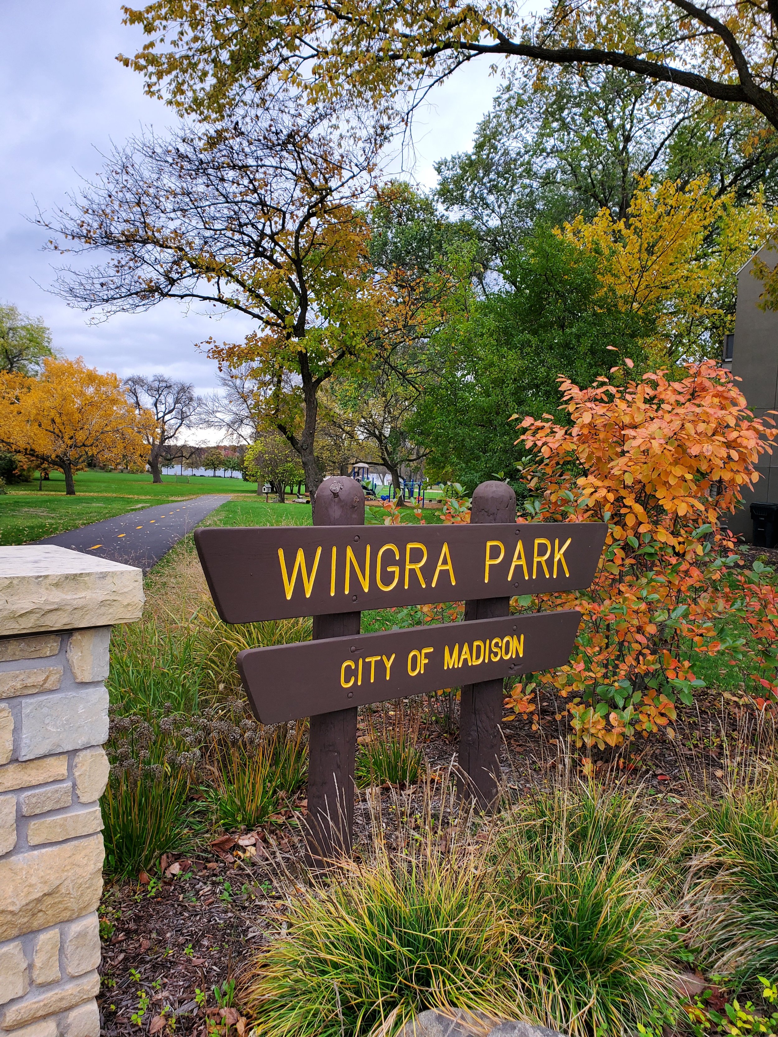
Wingra Park
824 Knickerbocker
Wingra Park is the neighborhood park. Located at 824 Knickerbocker, it is only a short walking distance from any location in the Dudgeon-Monroe neighborhood area. The 3-story Knickerbocker Ice House (built in 1895) originally occupied this site, with a railroad spur connecting it to the main railroad line (which is now the Southwest bike path). Conklin Ice Company later purchased the ice house in the 1920s. The huge industrial building remained on the site until the late 1930s. In 1937 the city acquired the land and later developed Wingra Park. A Frank Lloyd Wright-inspired Prairie Style boat house was constructed in 1991 to replace an earlier structure which had been destroyed by fire in 1989.
Westmorland Park
4114 Tokay Blvd.
Westmorland Park, located at 4114 Tokay Boulevard, is located immediately to the west of the Dudgeon-Monroe Neighborhood area. Compared to many of our city parks, Westmorland is a relative newcomer. In order to keep a green space in the rapidly developing area, the majority of its land was acquired by the city in 1954 with additions as late as 1981. Two ice skating rinks are maintained in the winter.
Wingra Park Entrance (photo by Shawn Schey)
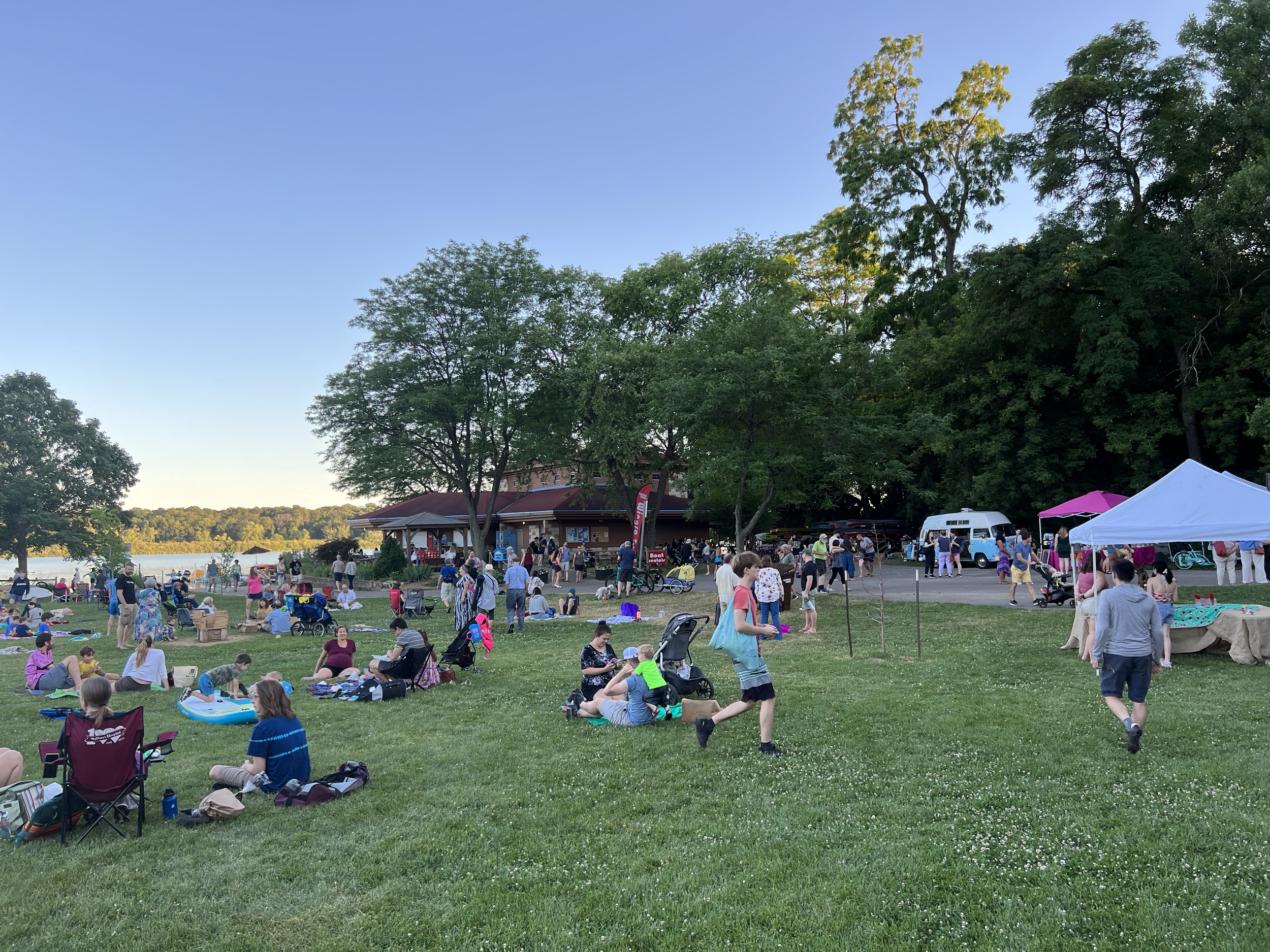
Wingra Park Friday Night Celebration (photo by Lisa Grueneberg)
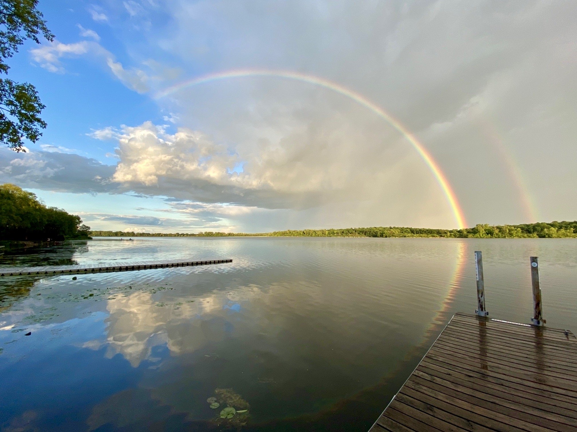
Lake Wingra Rainbow (photo by Rick Ness)
Forest Hill Cemetery Panther Mound (photo by Lisa Grueneberg)
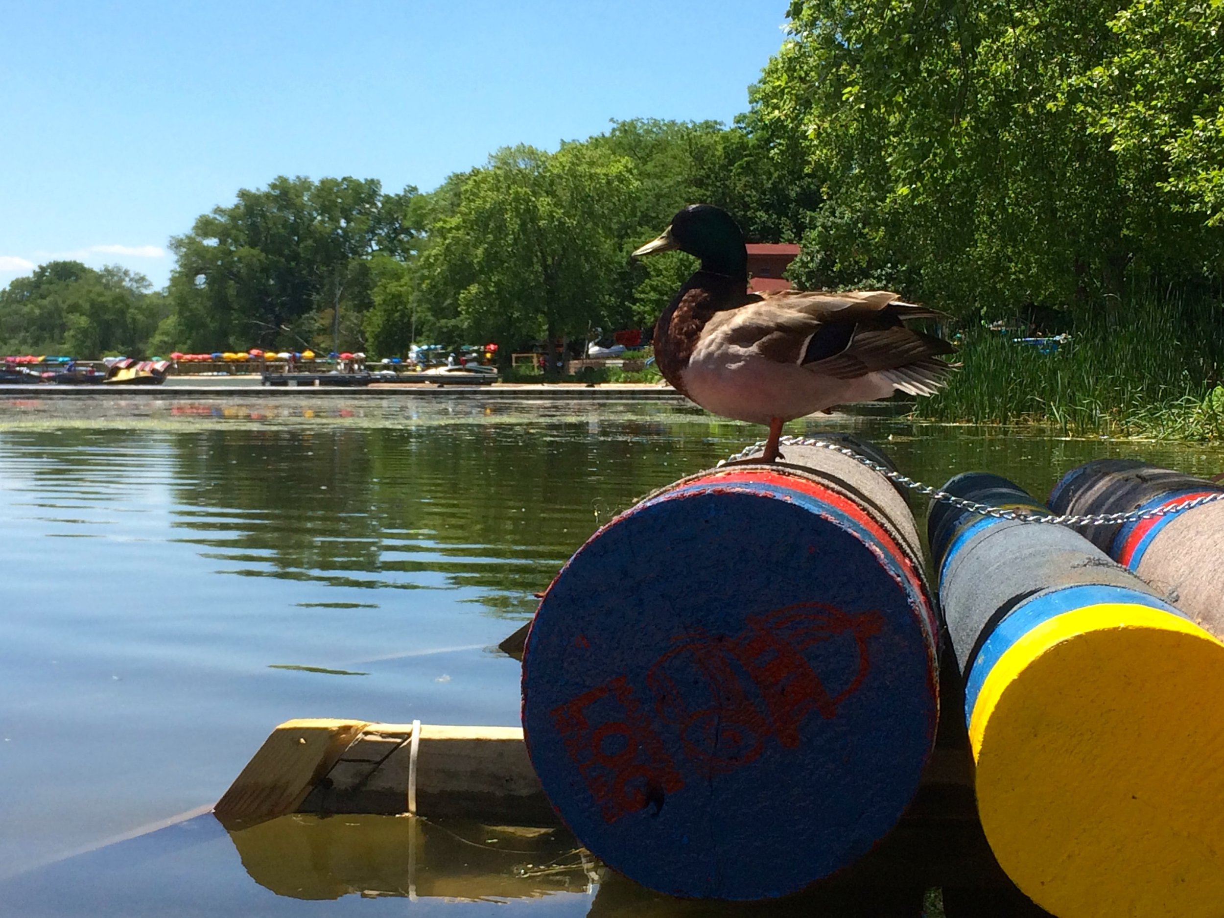
Duck overlooking Lake Wingra
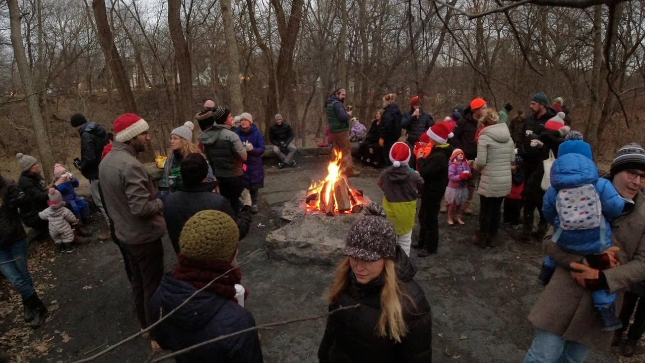
Winter Solstice Celebration at Glenwood Children's Park
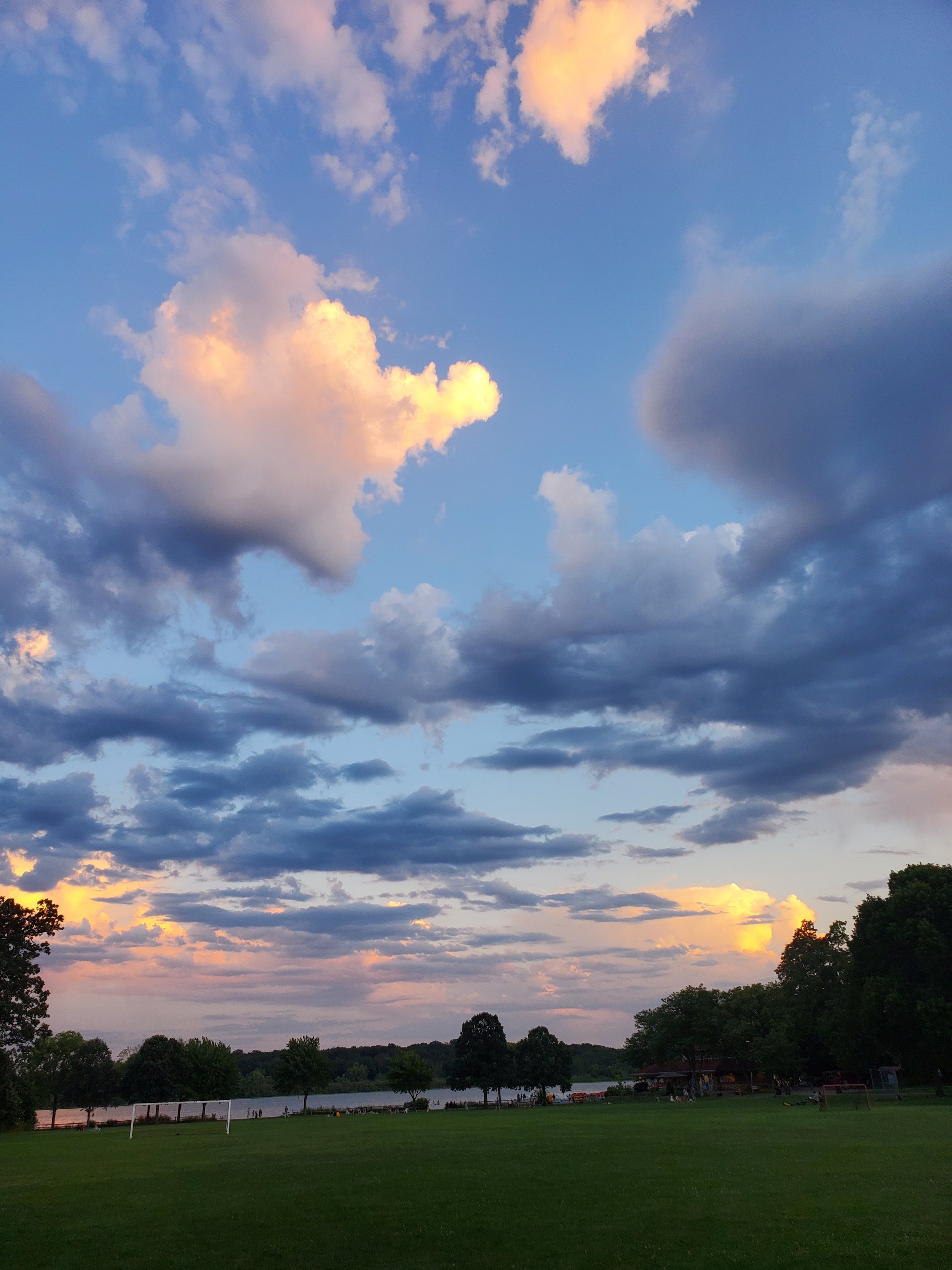
Clouds over WIngra Park (photo by Shawn Schey)
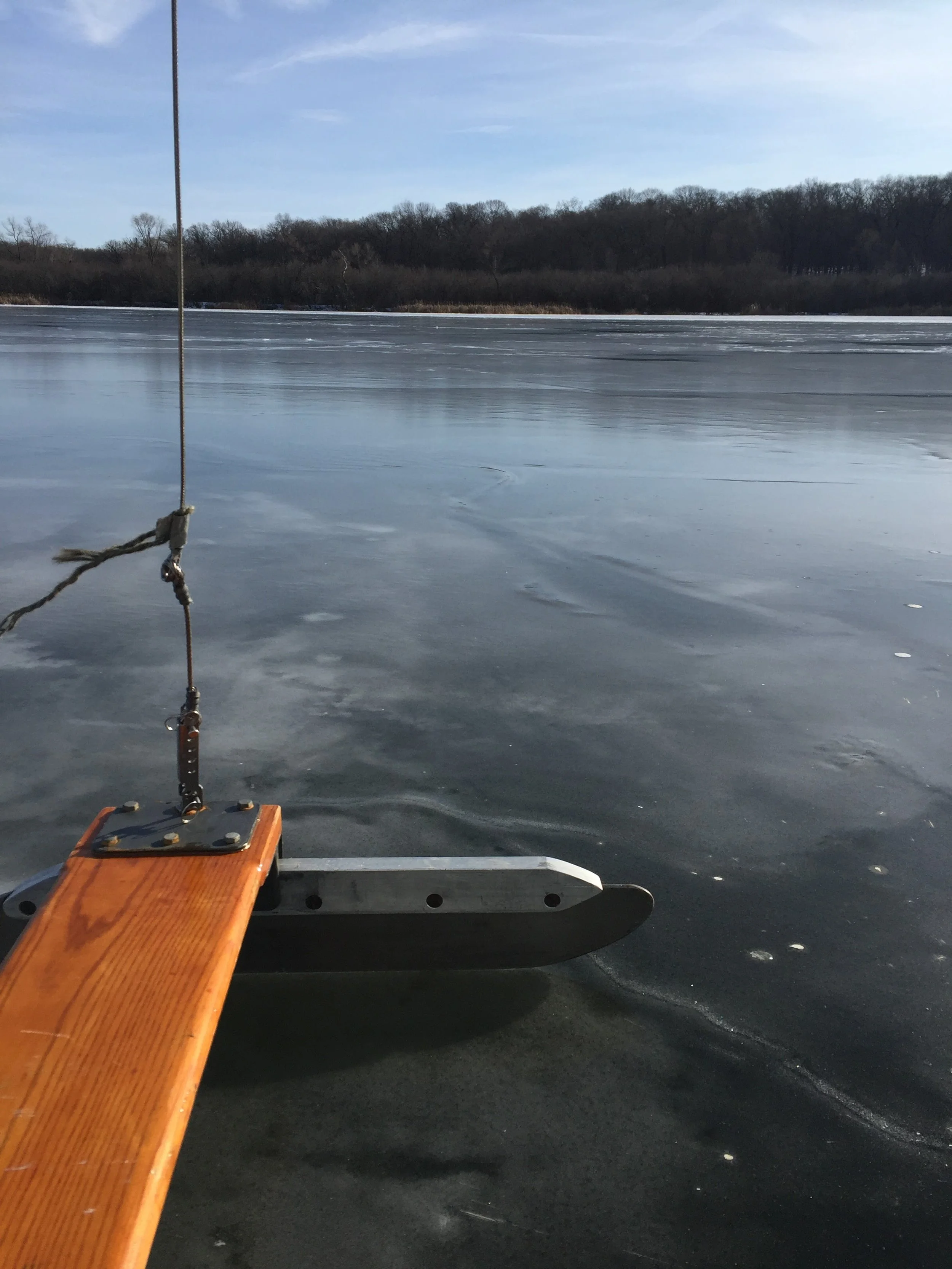
Ice Boating Lake Wingra (Photo by Brad Boyce)